

41 ACRES WITH HIGH DENSITY ZONING
Land | 40.79 acres
Marketing description
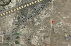
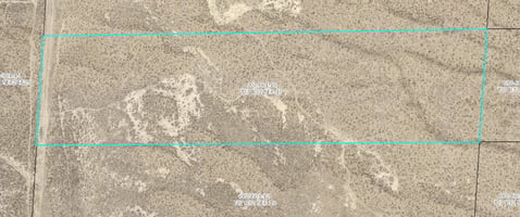
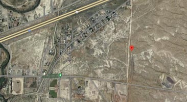
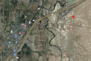
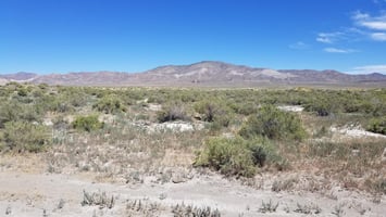
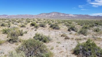
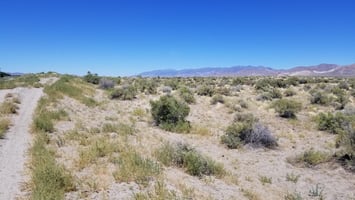
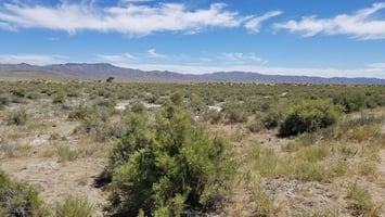
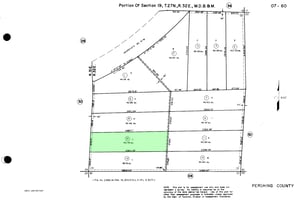
40.79 acres of land for development between Airport Road and Reservoir Road in Lovelock, NV 89419. Zoned high density suburban (HDS). Build your house on it or divide it up into residential lots. HDS zoning in Pershing County has a minimum lot size of 10,000 SF and a maximum density of 4 homes per acre. Buyer to do their own due diligence to confirm the property's development potential. Municipal water main runs along the west edge of the property. Three phase power available nearby. Recorded road and utility easements to the property from both the north and south. Panoramic views of mountains to the west, including the famed Lovelock "L".
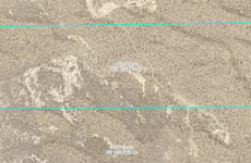
APN 007-601-10 in Pershing County
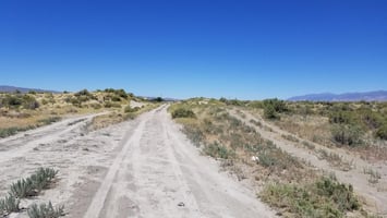
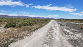
Directions: I-80 exit 106, go west on Main St, turn right at the stoplight onto Cornell Ave. Continue straight for 2.3 miles on Cornell Ave, which becomes Airport Road along the way. Turn left just after the cattle guard, and continue north on the dirt road for 0.2 miles, at which point the property will be on your right.
GPS 40.189992, -118.438117
Investment highlights
40.79 acres of land for development between Airport Road and Reservoir Road in Lovelock, NV 89419. Zoned high density suburban (HDS). Build your house on it or divide it up into residential lots. HDS zoning in Pershing County has a minimum lot size of 10,000 SF and a maximum density of 4 homes per acre. Buyer to do their own due diligence to confirm the property's development potential. Municipal water main runs along the west edge of the property. Three phase power available nearby. Recorded road and utility easements to the property from both the north and south. Panoramic views of mountains to the west, including the famed Lovelock "L".
APN 007-601-10 in Pershing County
Directions: I-80 exit 106, go west on Main St, turn right at the stoplight onto Cornell Ave. Continue straight for 2.3 miles on Cornell Ave, which becomes Airport Road along the way. Turn left just after the cattle guard, and continue north on the dirt road for 0.2 miles, at which point the property will be on your right.
GPS 40.189992, -118.438117
Listing Contacts
Valuation Calculator
Valuation Metrics
Broker Selected Comps View More Comps
Property History

Tax History
Similar Properties
Is there information that looks off?
