



Furnas County Nebraska Farm
Land | 323 acres
Marketing description
SCHROEDER EDISON CROPLAND, CRP & PASTURE
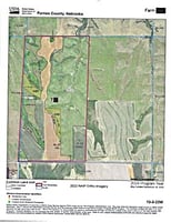
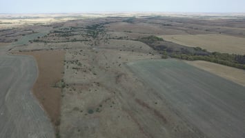
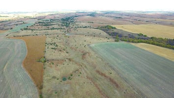
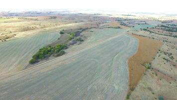
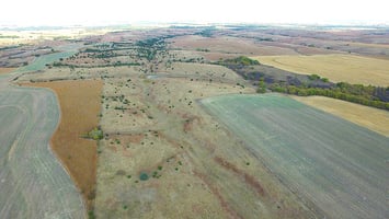
The farm has 323 deeded acres (Farm Service Agency mapping will show 321.61 acres) with the following land use:
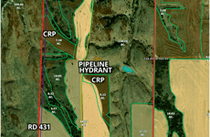
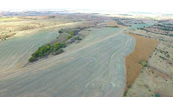
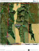
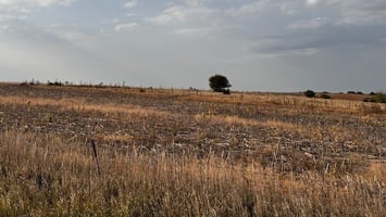
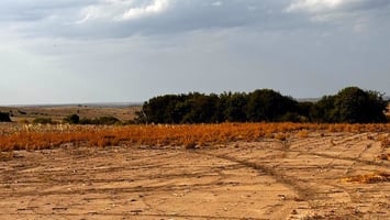
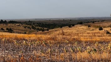
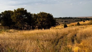
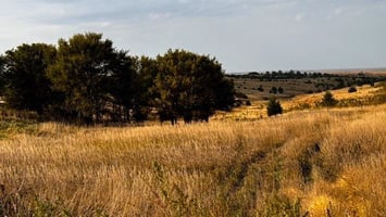
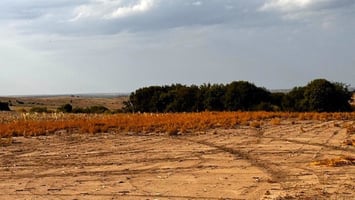
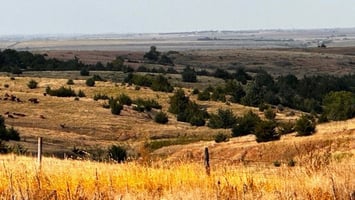
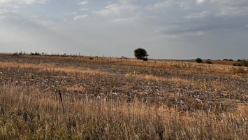
102 acres of dryland cropland, which is currently wheat stubble and has been sprayed. Buyer to receive the landlord's possession of cash rent lease payment. 42.83 acres of FSA-designated cropland have been converted back to grass for wildlife use.
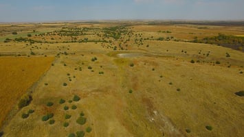
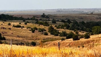
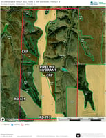
133 acres of fenced pasture with a hydrant from water pipeline, plus stock pond
14.41 acres of Conservation Reserve Program (CRP)
Balance of approximately 65 acres of wildlife habitat for deer, pheasant, and quail. The farm has a history of harvesting trophy-caliber whitetail bucks, as the partially timbered canyon on the north side of the farm serves as a natural corridor for bucks moving off the Republican River valley.
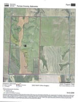
Acreages provided by the Furnas County Farm Service Agency. FSA aerial map attached in "Documents".
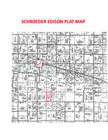
Approximately 5 miles southeast of Edison in South Central Nebraska at the intersection of County Roads 717 and 431.
Legal Description: W1/2, Section 13, T-3-N, R-22-W, Furnas County, Nebraska. 323 deeded acres.
Farm Service Info: 321.61 acres of farmland. 159.21 cropland. Wheat PLC yield of 52. Corn HIP yield of 46. Wheat: PLC yield of 52. Base acres 26.38. Corn: HIP yield of 46. Base acres of 73.26
Conservation Reserve Program (CRP): Two small fields totaling 14.41 acres are enrolled in CRP with an annual rental fee of $62.02 per acre. CRP contract expires September 30, 2026.
Investment highlights
- 323 ACRES
- DEER, PHEASANT, & QUAIL
- 14 ACRES CRP
- 159 AC DRYLAND CROPLAND
- 133 AC FENCED PASTURE
- PIPELINE WATER HYDRANT
- STOCK POND
- MAJOR COUNTY RD ACCESS
Listing Contacts
Valuation Calculator
Valuation Metrics
Broker Selected Comps View More Comps
Property History

Similar Properties
Is there information that looks off?
