


FM 37 and CR 258
354.2+/- Acres CRP Hunting Ranch Land in Lamb County, Texas
Marketing description
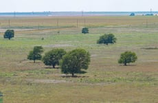
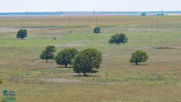
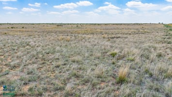
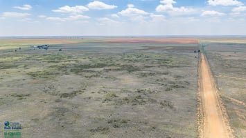
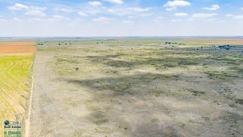
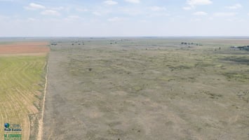
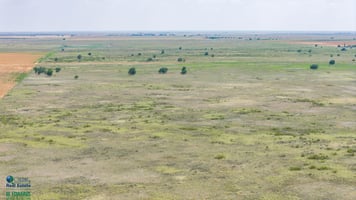
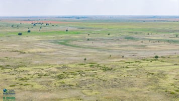
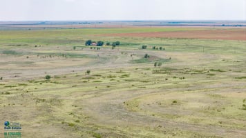
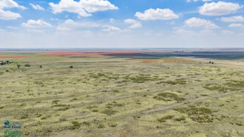
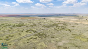
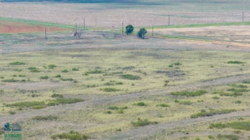
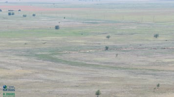
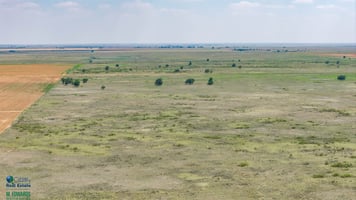
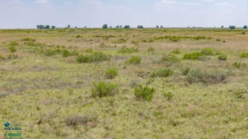
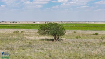
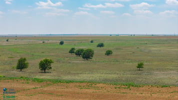
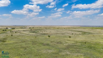
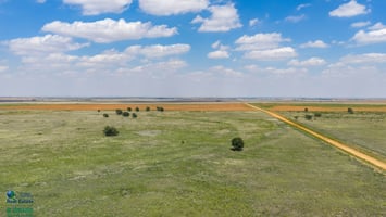
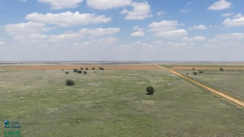
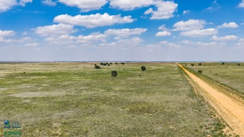
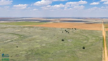
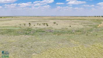
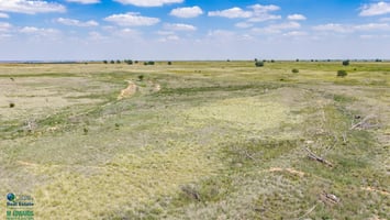
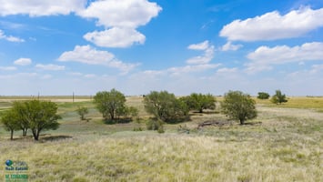
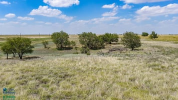
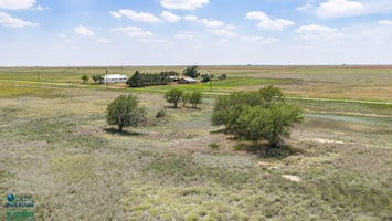
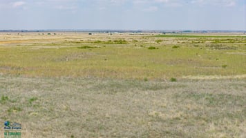
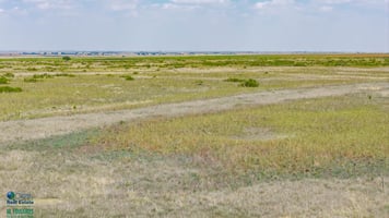
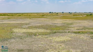
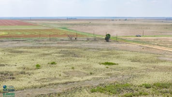
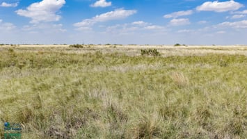
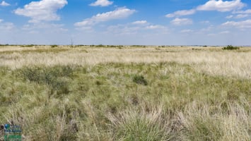
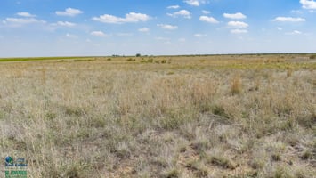
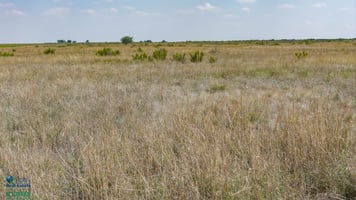
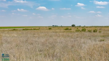
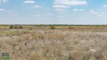
DESCRIPTION: 354.2+/- Acre Conservation Reserve Program Tract in Lamb County, Texas, offering a rare opportunity that must be seen to be appreciated. The farm has been in the same family for over 100 years, so this is a first-in-a-lifetime chance to buy this farm. This parcel is comprised of two labors of Lamb County Improved Grass with a few scattered trees throughout the offering.
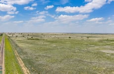
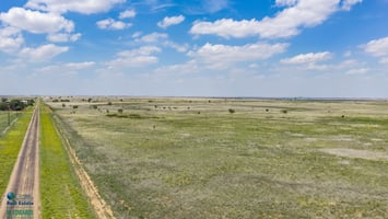
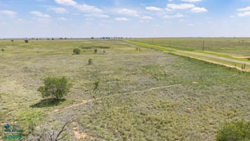
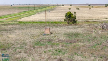
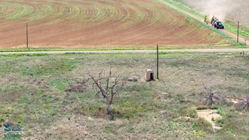
This tract boasts several unique aspects including paved Farm to Market Road Frontage along approximately 1 mile on the western boundary of the property. There are also electric utility lines on the other (west) side of FM 37 running down the west side of the property along with an electric pole with an old transformer in the NW corner which was an old homestead site (the home is no longer present). That location is where there is an old domestic well, but current working condition is unknown. There is also an electric utility line close to the south boundary that transverses the southern property line east/west just south of bordering county road 1243.
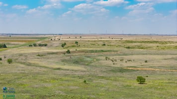
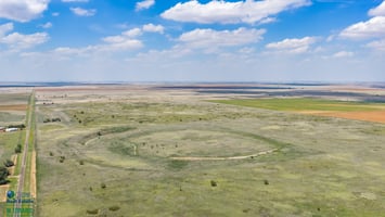
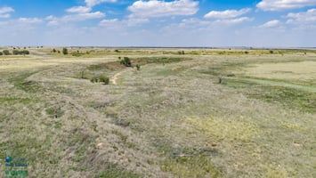
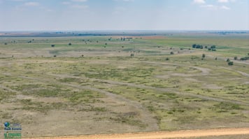
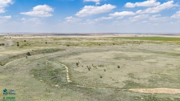
Another beneficial wildlife/livestock aspect to this tract is that it has diverse topography with some slope for the area. In previous decades, this farm was terraced along the contour of the slope to prevent soil erosion and help retain moisture on the slopes. These terraces help hold seasonal rainfall in various areas of the tracts which would otherwise all run to the playa basin on the farm. The large playa basin primarily located on the southern labor will also collect water during intense seasonal thunderstorms. Additionally, there is also an area in the southwestern part of the north labor just next to FM 37, where years ago the state removed dirt to build up FM 37. This area now serves as a mini basin which will catch water during wet periods of intense rains. With the combination of the basins and the terraces, a large portion of the rain that falls on this farm should stay on the tract.
LEGAL DESCRIPTION: Tract 1: All of Labor 11, League 211, Deaf Smith County School Lands, Lamb County, Texas approximately 177.1 Acres, Tract 2: All of Labor 20, League 211, Deaf Smith County School Lands, Lamb County, Texas approximately 177.1 Acres.
TOPOGRAPHY: Overall, the north tract gradually slopes to the east, with eastern elevations being from 7’ to 14’ feet lower than corresponding elevations on the west. There is a slight increase in elevation on the north labor in center of the labor which forms a mild ridge that gradually decreases in elevation on the south end of the labor that then begins to slope to the playa basin on the south labor and also to a playa on the neighboring tract to the east. The southern labor is generally a playa basin that slopes to the playa located in the NW part of the labor. With the highest points of the south labor being in the SW and SE corners which are 8’ to 9’ higher than corresponding elevations in the NW and NE corners.
IMPROVEMENTS: There is an old domestic well on the property that was working when the owners quit using it years ago, but the current status of the well is not known. Other than an old dilapidated well house there are no other improvements on the property.
WATER FEATURES: There is a large playa basin primarily located in the NW part of the southern labor, along with a couple of low-lying areas in terraces that can hold rain at times, and an area by FM 37 in the SW part of the north labor where soil was removed and used by the state to build up the roadbed for FM 37. All these areas can catch and hold water for limited amounts of time during the rainy season. There are some trees in areas that hold this water probably due to the fact they hold moisture longer during dry seasons and droughts. Wetlands are located on both tracts in the above described areas, Tract one has a few acres on western boundary designated as Pem1cx Freshwater Emergent Wetlands, Tract 2 has large playa that has some land designated as Pem1a Freshwater Emergent Wetlands.
FENCING: There is currently no useable fencing on the property.
WILDLIFE, HUNTING AND RECREATION: This tract should be very good for deer, quail, and possibly dove hunting. The area is known for producing good mule deer bucks due to farming in the area. There are some farmers in the area that sometimes plant forage/grain crops like grain sorghum which will help draw in wildlife in the fall harvest season, which coincides with Mule Deer Hunting Season. By implementing wildlife management practices there is potential for increased wildlife activity. Much of the terrain with changes in elevations and terraces could also function as wildlife funnels and travel corridors for deer moving from production areas to bedding areas on this tract or adjacent tracts. This parcel with the diverse topography and terraces that provide water retention could also hold more game.
SOIL: With the exclusion of the playa basin the soil on the farm consists primarily of Amarillo fine sandy loam, 1 to 3 percent slopes, with moderate levels of Arvana fine sandy loam, 1 to 3 percent slopes, and Amarillo fine sandy loam, 0 to 1 percent slopes and an area of Acuff loam, 1 to 3 percent slopes on the western part of North labor. The next largest type of soil which is located primarily in the bottom of the playa basin is Randall clay, 0 to 1 percent slopes, occasionally ponded and then on the slopes there is a fair amount of Amarillo fine sandy loam, 3 to 5 percent slopes. There are a few other minor soil types such as Mansker fine sandy loam, 3 to 5 percent slopes and Midessa fine sandy loam, 1 to 3 percent slopes and Portales loam, 1 to 3 percent slopes located on the property primary in areas with more slope. There is a small area on the South labor that is identified on Vintage USGS topo map as quarry, the soil map indicates this is Pits, caliche.
USDA INFO: The farm is currently enrolled in the Conservation Reserve Program through 09/30/2030 with 339.01 acres enrolled. The annual payment is $37.35/acre with an annual payment of 12,662.00. DCP Crop Data indicates CCC-505 CRP Reduction Acres of Wheat at 6.20 Acres, Grains Sorghum at 121.40 acres and Seed Cotton at 211.40 Acres. CRP Contract and FSA-156 available to review upon serious request.
TAXES: 2025 W/Exemptions ($209.98)
RESERVATIONS: Owner is not sure of current mineral interest but would like to reserve ½ of existing interest in minerals. Owner would like to reserve ½ of existing commercial solar royalty rights but will consider conveying commercial solar executive rights. Owner would like to reserve ½ of existing commercial wind royalty rights but will consider conveying executive rights.
EASEMENTS: The sale of the property is subject to any and all easements filed of record.
FURTHER REPRESENTATIONS: All information provided is believed to be accurate; however, no liability for its accuracy, errors or omissions is assumed. All lines drawn on maps, photographs, etc. are approximate. Buyers should verify the information to their satisfaction. Information is subject to change without notice. Real estate is being sold "As-Is, Where-Is" with NO warranties expressed or implied.
COMMENTS: Call or text Monty Edwards for more information at 806-786-5426.
Investment highlights
Paved Farm to Market Frontage
Improved Pastures
Playa Basin
Diverse Topography
Access to Electric Utilities
Great Mule Deer Habitat
Held by Family for over 100 years
Listing Contacts
Valuation Calculator
Valuation Metrics
Broker Selected Comps View More Comps
Property History

Tax History
Similar Properties
Additional Information
Is there information that looks off?
